The Lewis and Clark route
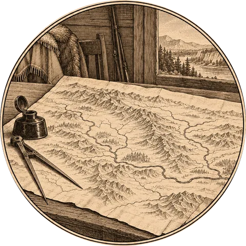
From Camp Dubois, near St. Louis, the Corps of Discovery travelled up the Missouri River, crossed the Rocky Mountains, and went down the Snake and Columbia rivers to the Pacific Ocean. Then they came back, splitting in two to explore more country on the way. The whole journey was about 8,000 miles.
The route in five stages
Up the Missouri, May–October 1804
From Camp Dubois on the Mississippi, up the Missouri past St. Charles, the mouth of the Kansas River, Council Bluff and Floyd’s Bluff, across the Great Plains and past the Bad River to the Mandan and Hidatsa villages, where the Corps built Fort Mandan for the winter. (Chapter 2–7)
Present-day states: Illinois, Missouri, Kansas, Nebraska, Iowa, South Dakota, North Dakota.
To the mountains, April–August 1805
Up the Missouri from Fort Mandan, past the mouth of the Yellowstone, the Marias River and the Great Falls, to the Three Forks, then up the Jefferson and Beaverhead rivers to Lemhi Pass on the Continental Divide. (Chapter 9–15)
Present-day states: North Dakota, Montana.
Over the mountains, August–September 1805
Down into the Lemhi valley among the Shoshone, north into the Bitterroot valley, and west over the Bitterroot Mountains on the Lolo Trail to Weippe Prairie, among the Nez Perce. (Chapter 16–18)
Present-day states: Idaho, Montana.
Down to the Pacific, October–November 1805
In new dugout canoes down the Clearwater, the Snake and the Columbia, past Celilo Falls and the Dalles, to the Columbia’s estuary, Station Camp on the Washington shore, and Fort Clatsop on the Oregon side. (Chapter 19–22)
Present-day states: Idaho, Washington, Oregon.
Home, March–September 1806
Back up the Columbia and over the Lolo Trail with Nez Perce guides, then in two parties from Travelers’ Rest: Lewis east over the mountains to the Great Falls and north to the Marias River, Clark south to the Three Forks and across to the Yellowstone River. They met again on the Missouri in present-day North Dakota and floated down to St. Louis. (Chapter 24–30)
Present-day states: Oregon, Washington, Idaho, Montana, North Dakota, and down the Missouri.
What states did Lewis and Clark go through?
Going west, the expedition passed through eleven present-day states, in this order: Illinois, Missouri, Kansas, Nebraska, Iowa, South Dakota, North Dakota, Montana, Idaho, Washington and Oregon. Coming home it passed back through the same states, crossing Montana by two different routes.
Today the Lewis and Clark National Historic Trail runs through sixteen states. Since 2019 it has included the journey Lewis made in 1803 down the Ohio River from Pittsburgh, adding Pennsylvania, West Virginia, Ohio, Kentucky and Indiana.
The rivers
The Missouri carried the Corps most of the way west, from its mouth near St. Louis to its sources in the Rocky Mountains. Beyond the mountains they followed the Clearwater, the Snake and the Columbia to the sea. On the way home Clark’s party came down the Yellowstone, and Lewis explored the Marias.
Places you can still see
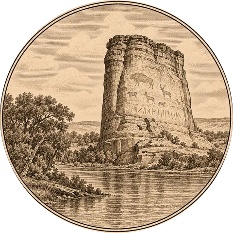
Much of the route can be followed today. You can stand at Lemhi Pass, see the Great Falls of the Missouri, walk parts of the Lolo Trail, visit a replica of Fort Clatsop, and read Clark’s name on Pompeys Pillar. (Chapter 31)
Follow the whole route on the map →
More about the expedition: Summary, chapter by chapter · Timeline · Who was on the expedition · Sacagawea · What they discovered